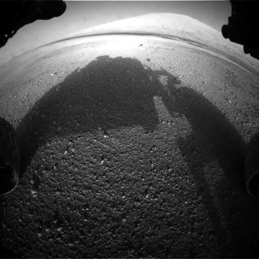
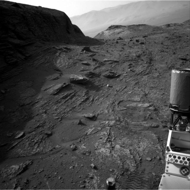
How it started / how it's going Left: one of @MarsCuriosity's first images, taken 10 years ago, showing the flat landing area in Gale Crater, with Mt. Sharp in the distance. Right: a view taken yesterday from the slopes of the mountain. All raw images: mars.nasa.gov/msl/multimedia/r… #NASAMars nitter.net/NASAMars/status/155…
Raw Images | Multimedia – NASA Mars Exploration
View raw images taken by NASA's Curiosity Mars Rover.NASA Mars Exploration

