
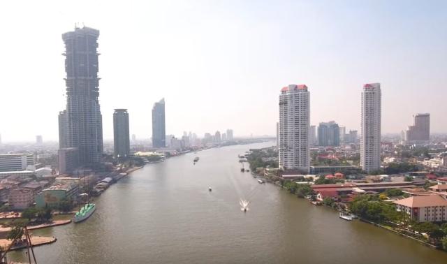
In Southeast Asia, water managers are using satellite data to help predict extreme rainfall, track reservoir levels, & more.
The work is through @nasa @usaid's SERVIR program, which recently expanded to countries like Indonesia and the Philippines. go.nasa.gov/3nyK8cM
#NASAEarth
Satellite Data, Applications Flowing Through SERVIR to Southeast Asia
ith customized tools that use NASA observations and data, the people who manage the Mekong River water supply have been improving their decision-making.Beth Ridgeway (NASA)