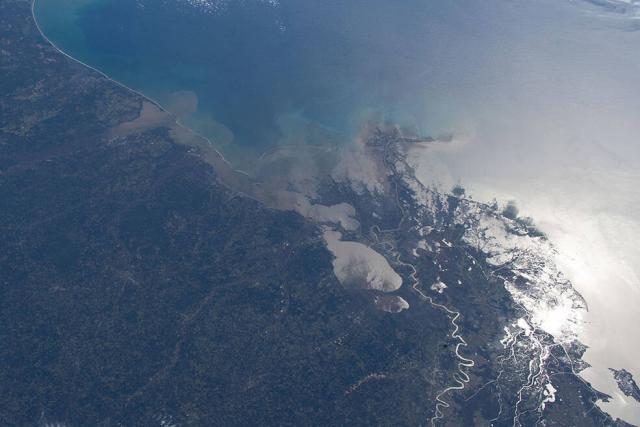
The rate of sea level rise has more than doubled since 1993. Using a 30-year satellite record, @nasa is helping researchers and coastal planners track how much rise is happening so that we can prepare for where sea level rise is headed.
Details: go.nasa.gov/3yN1hkM
#NASAEarth
NASA Uses 30-Year Satellite Record to Track and Project Rising Seas
Observations from space show that the rate of sea level rise is increasing. Knowing where and how much rise is happening can help coastal planners prepare for future hazards.Tony Greicius (NASA)
