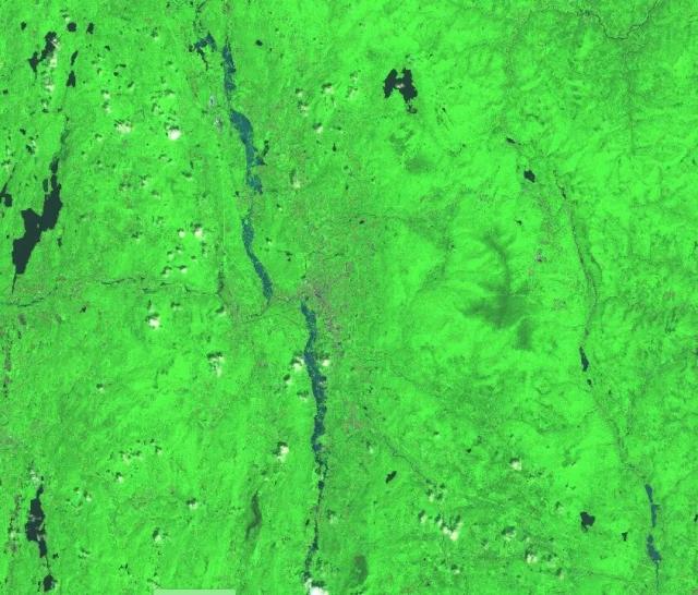
NASA’s Disasters program is sharing satellite data to help identify the extent of flooding in Vermont. go.nasa.gov/3NKLbPO
The team is working with @fema, @femaregion1, @esri’s Disaster Response Program, and @uvmvermont.
🛰️: @esa Copernicus Sentinel-2A/2B on July 12
#NASAEarth
