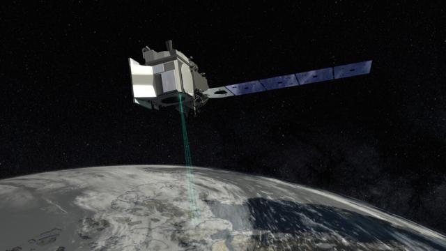
Ice height data from @nasa’s ICESat-2 satellite and ice-cover models allowed the team to map where and how much light was penetrating through thin spots and openings in Antarctic sea ice, and how the ice moved over time.
Learn more: go.nasa.gov/3OWnkwH
#NASAEarth
Phytoplankton May Be Abundant Under Antarctic Sea Ice, Study Suggests
Scientists using underwater instruments and a NASA satellite have found evidence of potentially significant phytoplankton blooms beneath the sea ice encircling Antarctica.Kate Ramsayer (NASA)
