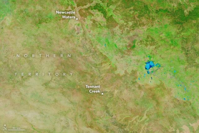
The surge of rain pushed rivers beyond their banks and forced evacuations from several communities.
For comparison, NASA’s Aqua satellite captured an image of the same area on March 5, 2022, during drier times.
Details: go.nasa.gov/3mTusjx
#NASAEarth
Floods Swamp Australia’s Northern Territory
Days of rain have swollen rivers and lakes in the sparsely populated territory.go.nasa.gov
