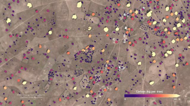
The data are publicly available with a viewer app developed by the team. #OpenScience
The app identifies individual trees in satellite imagery and shows the amount of carbon they contain.
Full story: go.nasa.gov/3ZzUg2l
#NASAEarth
Counting Carbon Stored in African Dryland Trees
With the help of artificial intelligence and high-resolution satellite images, scientists mapped almost 10 billion individual trees in Africa’s drylands to assess the amount of carbon stored outside of the continent’s dense tropical forests.Rob Garner (NASA)
