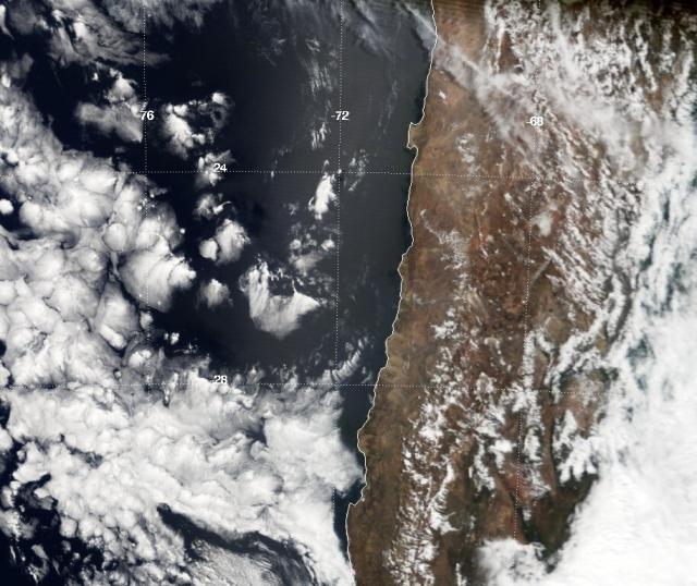
Geo-quiz time! 🤔
Launched just before Y2K in Dec. 1999, NASA's Terra satellite has provided a continuous view of Earth over its 23 years of operation.
This is one of the very first images Terra took with its MODIS instrument on Feb. 24, 2000. What country's coastline is this?
#NASAhistory

@faktoider
in reply to NASA • • •Speculater
in reply to NASA • • •wijfi
in reply to NASA • • •Tedzilla
in reply to NASA • • •Buca Chow Chow
in reply to NASA • • •quixote
in reply to NASA • • •