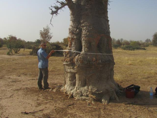
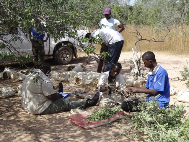
The team identified every single tree in over 326,000 satellite images, using artificial intelligence algorithms. Measuring trees in the field allowed the scientists to relate the satellite data to how much carbon was stored in individual trees.
#NASAEarth
#NASAEarth

