SWOT’s that?
A first look at data from @nasa’s SWOT mission! 💧
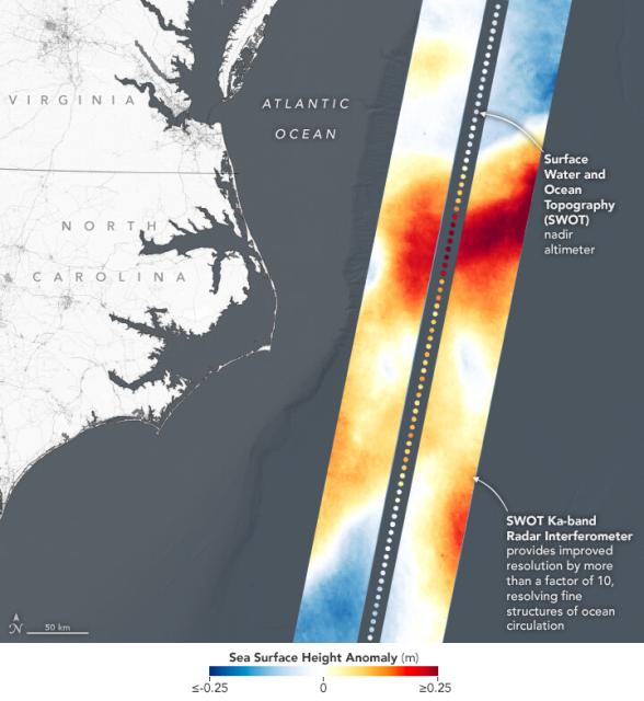
This image shows sea level in two 75 mile wide strips in the Gulf Stream off the U.S. East Coast. Red indicates sea level higher than the global average; blue is lower. go.nasa.gov/3TOKaZu
#NASAEarth
Water-Tracking Satellite Reveals First Views
The Surface Water and Ocean Topography mission has sent back some of its first glimpses of water on Earth’s surface, including a detailed view of the Gulf Stream.go.nasa.gov
