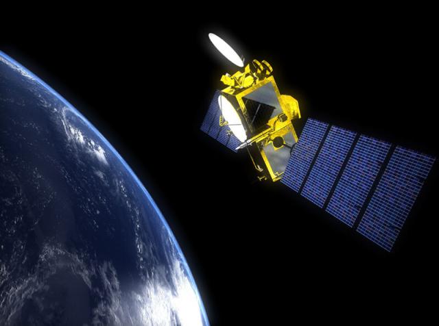
#OTD in 2008, the Ocean Surface Topography Mission/Jason-2 satellite launched to measure changes in sea-level rise. For a decade, it helped display the relationship between ocean circulation and climate change as well as weather forecasts!
Read more: go.nasa.gov/3XbLkQA
#NASAhistory
