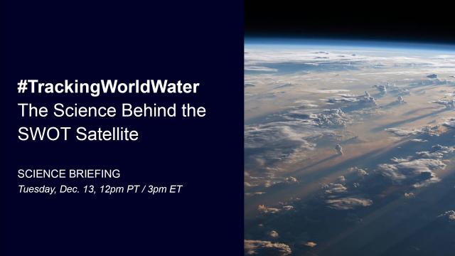
Why is #TrackingWorldWater important? The Surface Water and Ocean Topography (SWOT) satellite will help communities monitor and plan for changing water resources as well as the effects of sea level rise today at noon PT (3pm ET) to learn more. youtu.be/-gM1KyJqLa0 #NASAJPL
The Surface Water and Ocean Topography (SWOT) mission, led by NASA and the French space agency Centre National d’Études Spatiales (CNES), is days away from l...