Search
Items tagged with: TrackingWorldWater
#NASAEarth
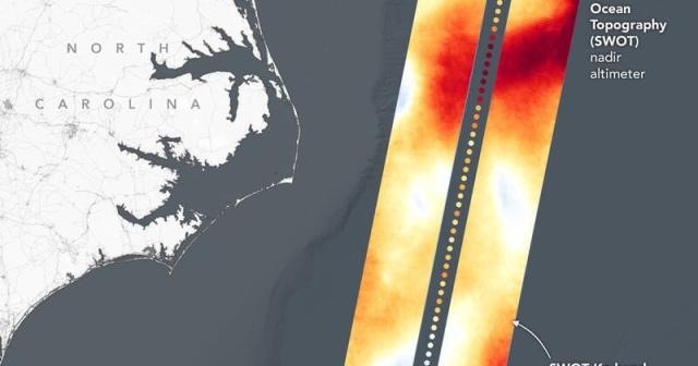
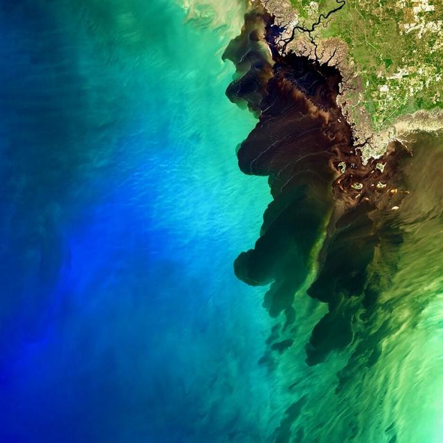
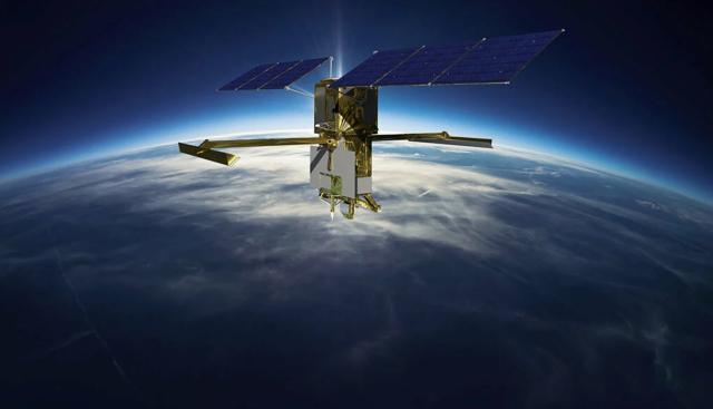
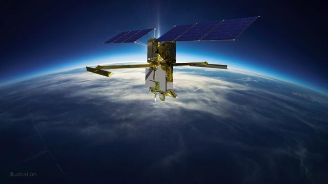
Joint NASA, CNES Water-Tracking Satellite Reveals First Stunning Views
The Surface Water and Ocean Topography mission offers the first taste of the detailed perspectives of Earth’s surface water that its cutting-edge instruments will be able to capture.Tony Greicius (NASA)
go.nasa.gov/3UZA5rC
#NASAEarth
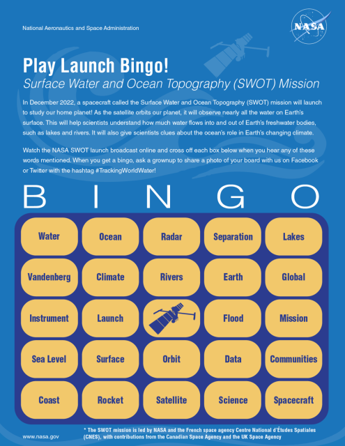
SWOT Launch Bingo | NASA Space Place – NASA Science for Kids
During the launch broadcast, you can mark off the words that you hear!go.nasa.gov
The Surface Water and Ocean Topography mission will track water on more than 90% of Earth’s surface.
Spruce up your space with this mission poster and get ready for launch: go.nasa.gov/3Yq90kf
#TrackingWorldWater
#NASAEarth
Surface Water and Ocean Topography (SWOT) Mission Poster | NASA SWOT
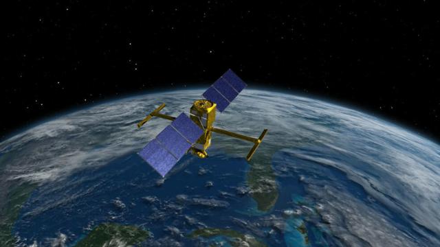
This collaborative mission poster, designed by CNES (French Space Agency), shows the Surface Water and Ocean Topography (SWOT) satellite soaring over an abstract of a water molecule.NASA SWOT
#NASA
Launch of the International SWOT (Surface Water and Ocean Topography) Mission (NASA Broadcast)
Watch with NASA as we launch an international mission to understand the Earth's water like never before.SWOT, the Surface Water and Ocean Topography mission,...YouTube
Team Earth! 🌎
Water connects us all – and that couldn't be more true than with the international SWOT mission, which was jointly developed by @nasa and @CNES with contributions from @csa_asc and @spacegovuk.
Follow along! SWOT is set to launch on Dec. 15. #TrackingWorldWater
#NASAJPL
KaRIn has been designed to capture very precise measurements of the height of water in Earth’s freshwater bodies and the ocean. And unlike other satellites, it can take measurements regardless of cloud cover or time of day.
SWOT is set to launch on Dec. 15. #TrackingWorldWater
#NASAJPL
The Surface Water and Ocean Topography (SWOT) satellite will help communities monitor and plan for changing water resources as well as the effects of sea level rise today at noon PT (3pm ET) to learn more. youtu.be/-gM1KyJqLa0
#NASAJPL
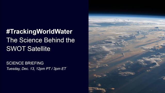
#TrackingWorldWater: The Science Behind the SWOT Satellite (News Briefing)
The Surface Water and Ocean Topography (SWOT) mission, led by NASA and the French space agency Centre National d’Études Spatiales (CNES), is days away from l...YouTube
Alaska has nearly 1 million miles of rivers, but only 10% of them are gauged, or measured.
By #TrackingWorldWater, SWOT will measure the height of surface water from space and help groups like the Alaska Department of Fish and Game better manage salmon spawning and survival.
#NASAEarth
#NASAJPL
✂️ SWOT: Community Impact in Alaska
46 seconds · Clipped by NASA Jet Propulsion Laboratory · Original video "SWOT: Earth Science Satellite Will Help Communities Plan for a Better Future" by NAS...YouTube
"Water is my happy place."
Meet Cedric David, a freshwater scientist who will use data from the international Surface Water and Ocean Topography satellite (SWOT). SWOT will track water on more than 90% of Earth's surface — and it launches next week! #TrackingWorldWater
#NASAJPL
We are all connected by water. As we get closer to launching SWOT, we’re focusing on #TrackingWorldWater and want to hear from you! 🌊
Share a photo, video, or questions about the mission and we might share it on the launch broadcast. Submit today ➡️ go.nasa.gov/3usJ368
#NASAEarth
How to Participate in the SWOT Launch – Climate Change: Vital Signs of the Planet
Learn how to participate in the upcoming SWOT launch.Climate Change: Vital Signs of the Planet
The SWOT (Surface Water and Ocean Topography) satellite is nearing launch! #TrackingWorldWater
#NASAJPL
We’re only 14 days away from launching SWOT – a new satellite that will track water on nearly 90% of Earth’s surface! 🛰️ 💧
Tag your questions with #TrackingWorldWater by Dec. 5, and they might be answered during our live launch broadcast. go.nasa.gov/3gI3lVP
#NASAEarth
How to Participate in the SWOT Launch – Climate Change: Vital Signs of the Planet
Learn how to participate in the upcoming SWOT launch.Climate Change: Vital Signs of the Planet
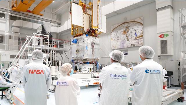
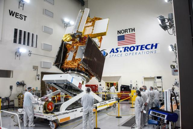
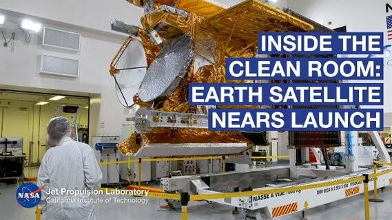
See the Spacecraft: Earth-Observing Satellite SWOT Nears Launch (Live Q+A)
A new Earth science mission led by NASA and the French space agency Centre National d’Études Spatiales is preparing for launch! In less than a month, the SWO...YouTube
