Search
Items tagged with: ModerateResolutionImagingSpectroradiometerMODIS
NASA Scientists Find New Human-Caused Shifts in Global Water Cycle nasa.gov/missions/gpm/nasa-sci… #NASA #Earth #GlobalPrecipitationMeasurementGPM #GoddardSpaceFlightCenter #ModerateResolutionImagingSpectroradiometerMODIS #WaterEnergyCycle

NASA Scientists Find New Human-Caused Shifts in Global Water Cycle - NASA
In a recently published paper, NASA scientists use nearly 20 years of observations to show that the global water cycle is shifting in unprecedented ways. TheErica McNamee (NASA)
Icelandic Cyclones nasa.gov/image-article/iceland… #NASA #ModerateResolutionImagingSpectroradiometerMODIS #NaturalDisasters
Icelandic Cyclones - NASA
The Moderate Resolution Imaging Spectroradiometer flying aboard NASA’s Terra satellite took this picture of two cyclones near Iceland on Nov. 20, 2006. ThoughNASA
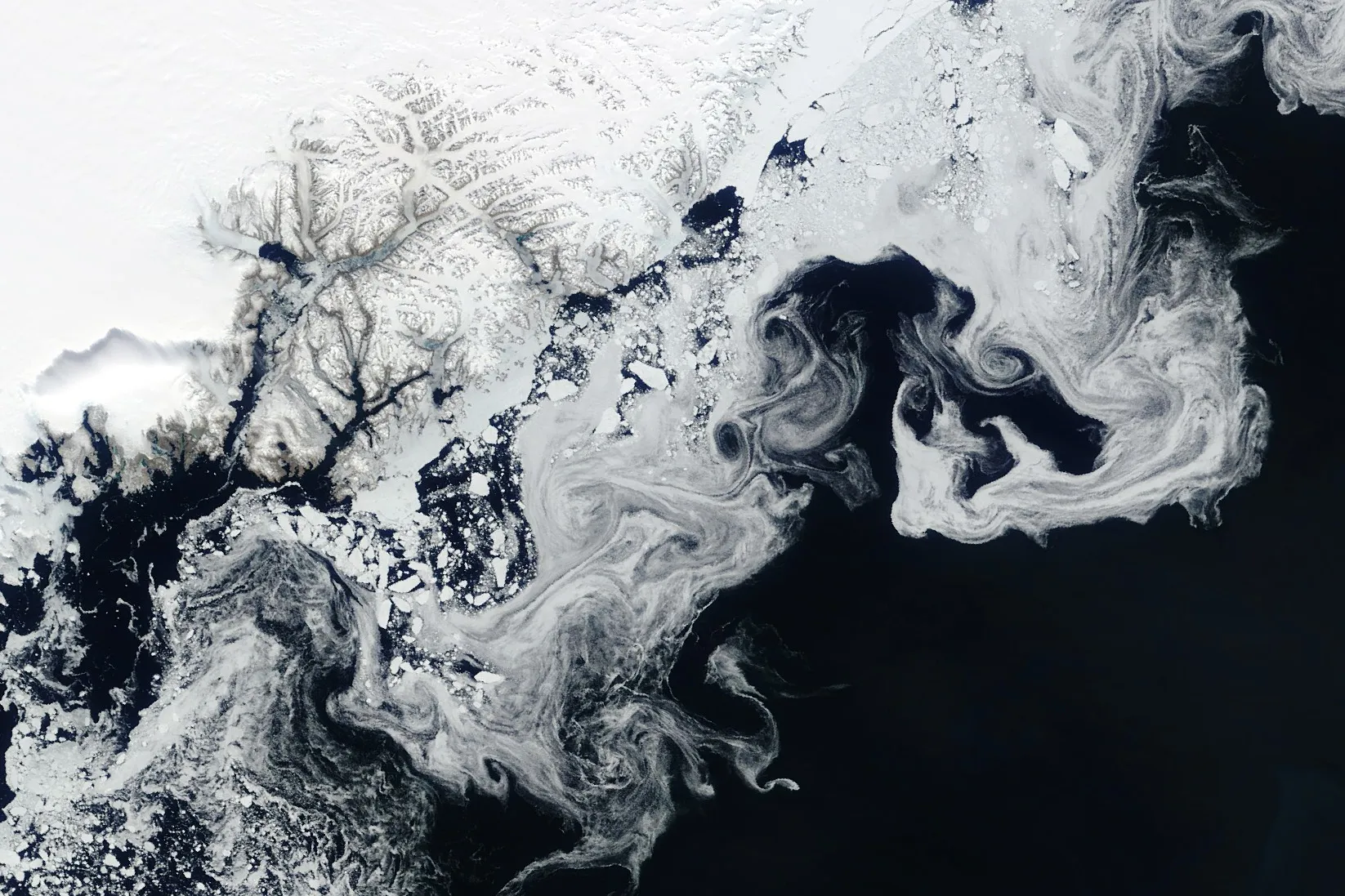
Sea Ice Swirls nasa.gov/image-article/sea-ice… #NASA #Earth #IceGlaciers #ModerateResolutionImagingSpectroradiometerMODIS #Terra

Sea Ice Swirls - NASA
NASA’s Terra satellite captured floating fragments of sea ice as ocean currents carried them south along Greenland’s east coast on June 4, 2024.NASA
Modeling the Hawaiian Shoreline nasa.gov/image-article/modelin… #NASA #Earth #Floods #ModerateResolutionImagingSpectroradiometerMODIS

Modeling the Hawaiian Shoreline - NASA
The island of Hawai’i and surrounding waters glow in unusual shades in this 2022 model made through NASA DEVELOP. The model was created to help the County ofNASA
