Search
Items tagged with: naturaldisasters
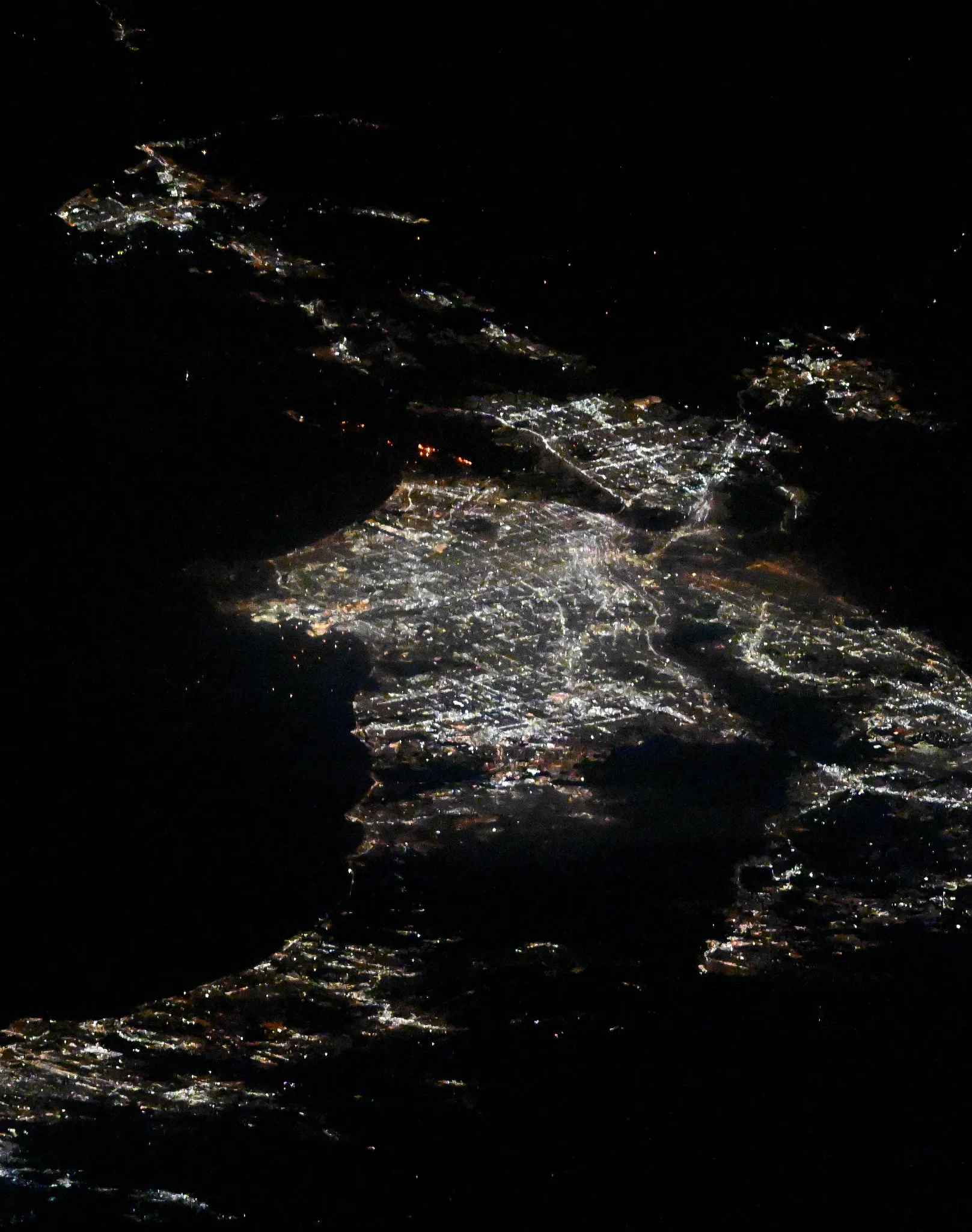
Los Angeles Fires Seen from International Space Station - NASA
On Jan. 10, 2025, NASA astronaut Don Pettit posted two images of the Los Angeles fires from the International Space Station. Multiple destructive fires brokeNASA

Orange Lava, Blue Lagoon - NASA
Lava encroaches on the Blue Lagoon, a popular tourist destination in Iceland, in this Nov. 24, 2024, Landsat 9 image overlaid with an infrared signal. TheNASA
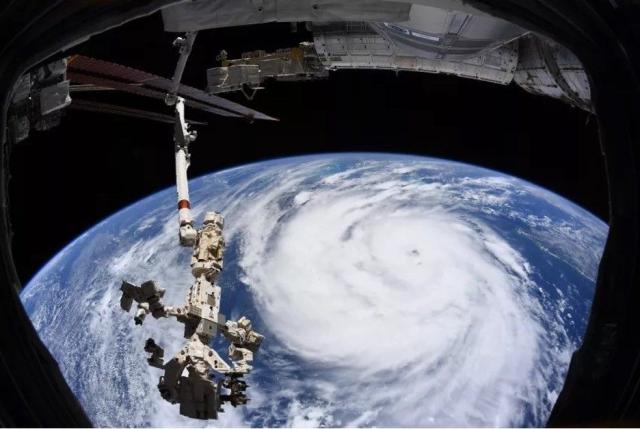
NASA AI, Open Science Advance Disaster Research and Recovery - NASA Science
NASA's open Earth science data and artificial intelligence models help researchers monitor hurricanes and other disasters.science.nasa.gov
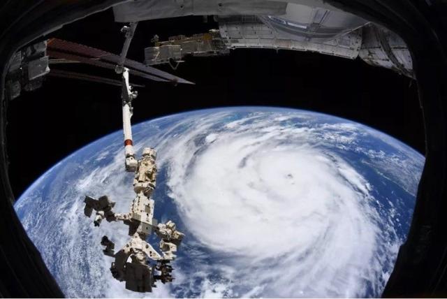
NASA AI, Open Science Advance Disaster Research and Recovery - NASA Science
NASA's open Earth science data and artificial intelligence models help researchers monitor hurricanes and other disasters.science.nasa.gov
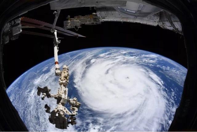
NASA AI, Open Science Advance Disaster Research and Recovery - NASA Science
NASA's open Earth science data and artificial intelligence models help researchers monitor hurricanes and other disasters.science.nasa.gov
Icelandic Cyclones - NASA
The Moderate Resolution Imaging Spectroradiometer flying aboard NASA’s Terra satellite took this picture of two cyclones near Iceland on Nov. 20, 2006. ThoughNASA
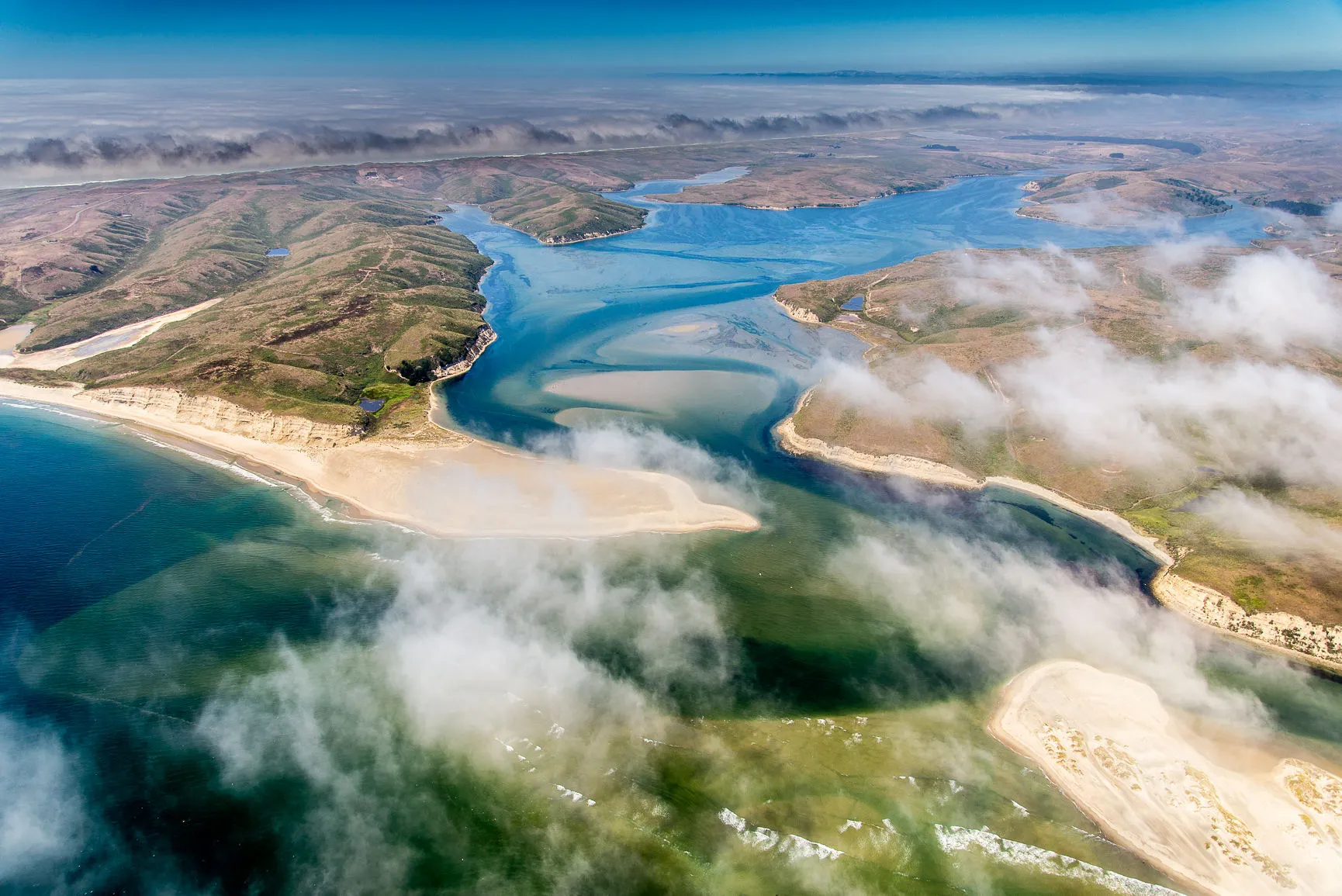
NASA Data Helps International Community Prepare for Sea Level Rise - NASA
The information will help people who live in coastal areas prepare for impacts caused by rising sea levels.Anthony Greicius (NASA)
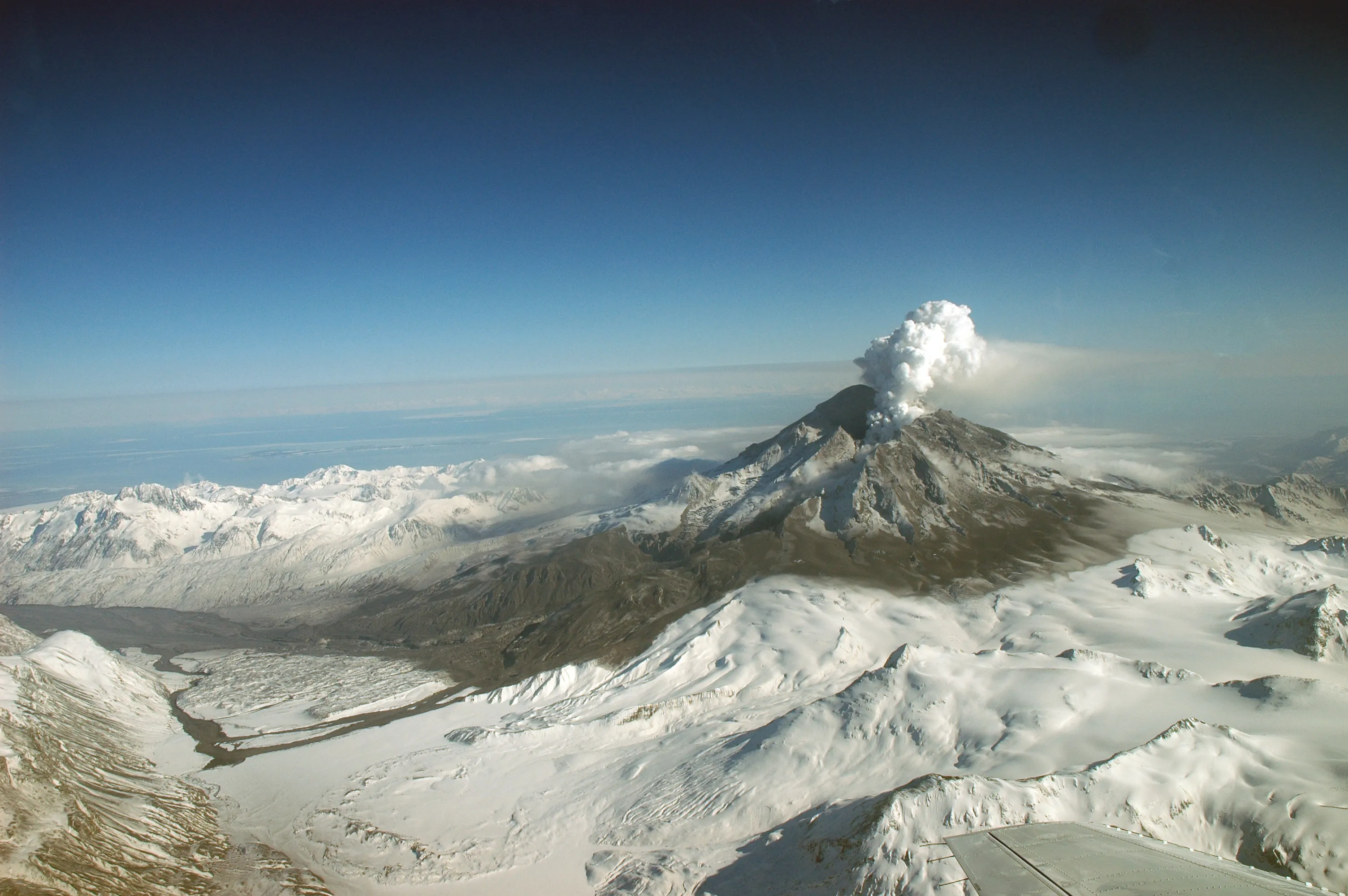
Powerful New US-Indian Satellite Will Track Earth’s Changing Surface - NASA
Data from NISAR will improve our understanding of such phenomena as earthquakes, volcanoes, and landslides, as well as damage to infrastructure.Anthony Greicius (NASA)
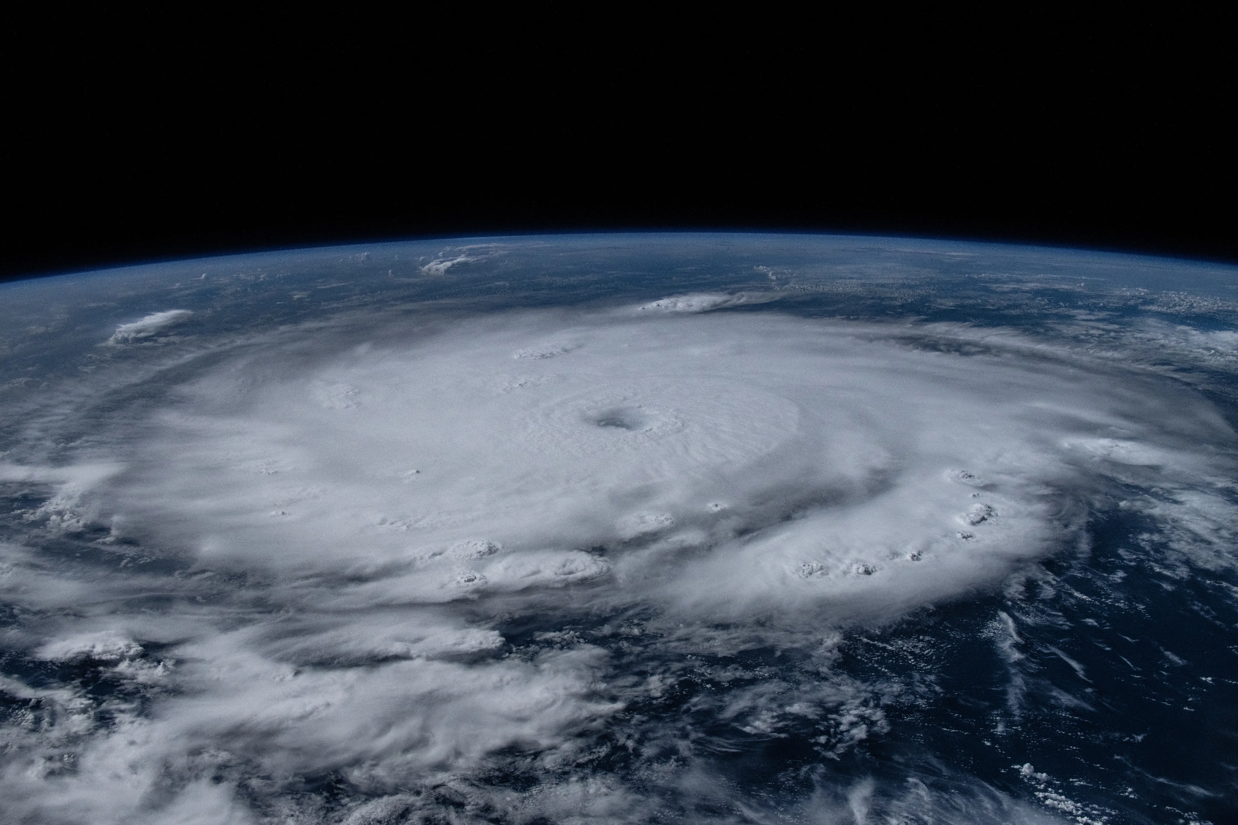
Studying Hurricane Beryl from Space - NASA
NASA astronaut Matthew Dominick captured this image of Hurricane Beryl in the Caribbean on July 1, 2024, while aboard the International Space Station, andNASA
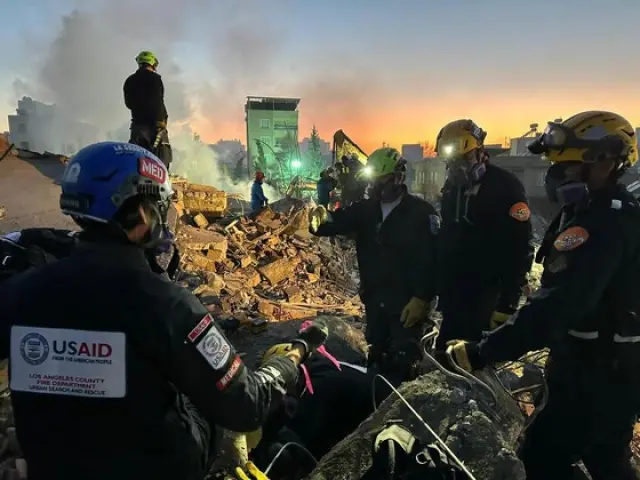
NASA Announces New System to Aid Disaster Response - NASA Science
In early May, widespread flooding and landslides occurred in the Brazilian state of Rio Grande do Sul, leaving thousands of people without food, water, or electricity.science.nasa.gov
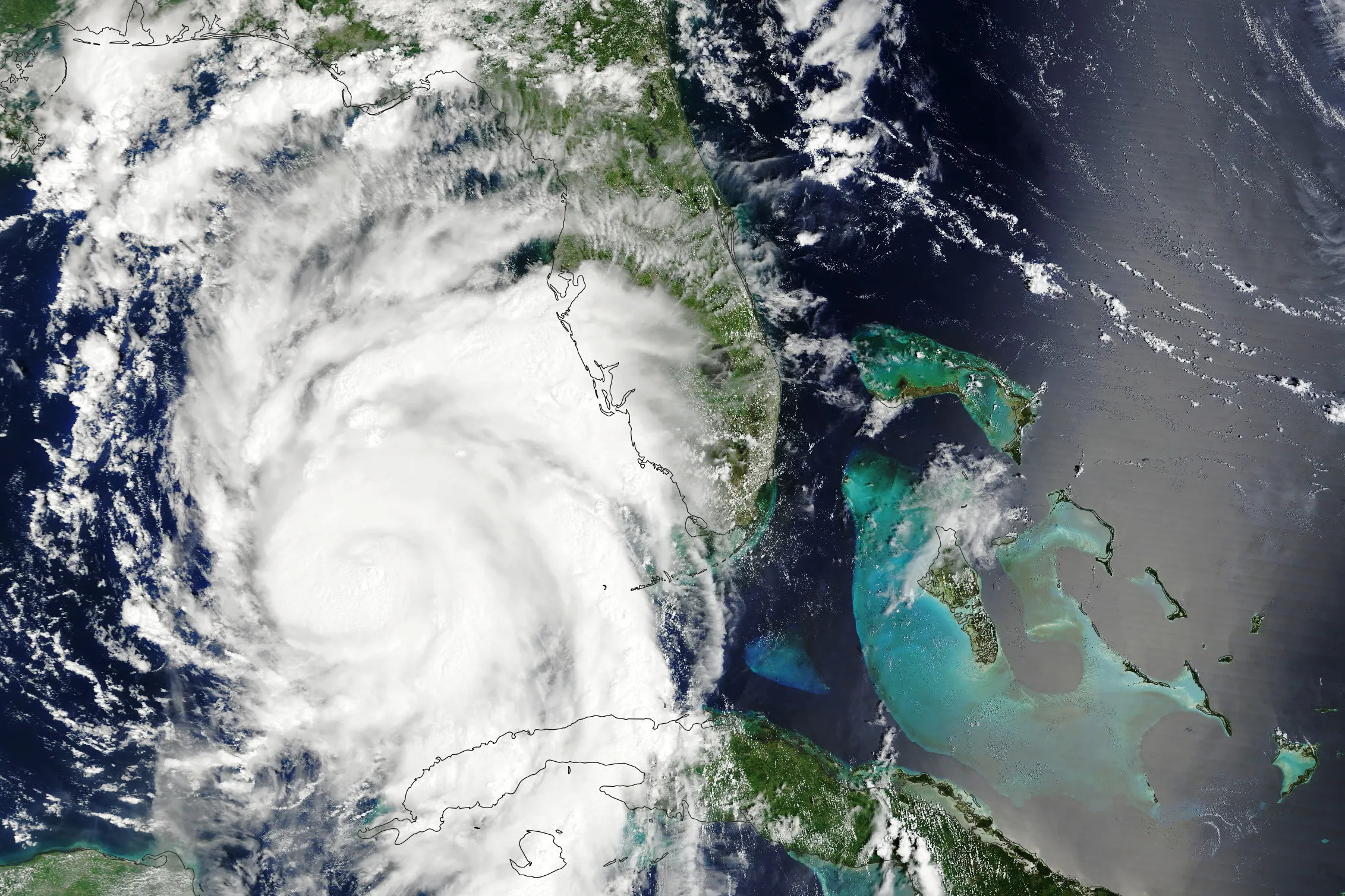
NASA Invites Media for Launch of New Disaster Response System - NASA
NASA invites media to an event at the agency’s headquarters at 2 p.m. EDT Thursday, June 13, to learn about a new Disaster Response Coordination System thatNASA
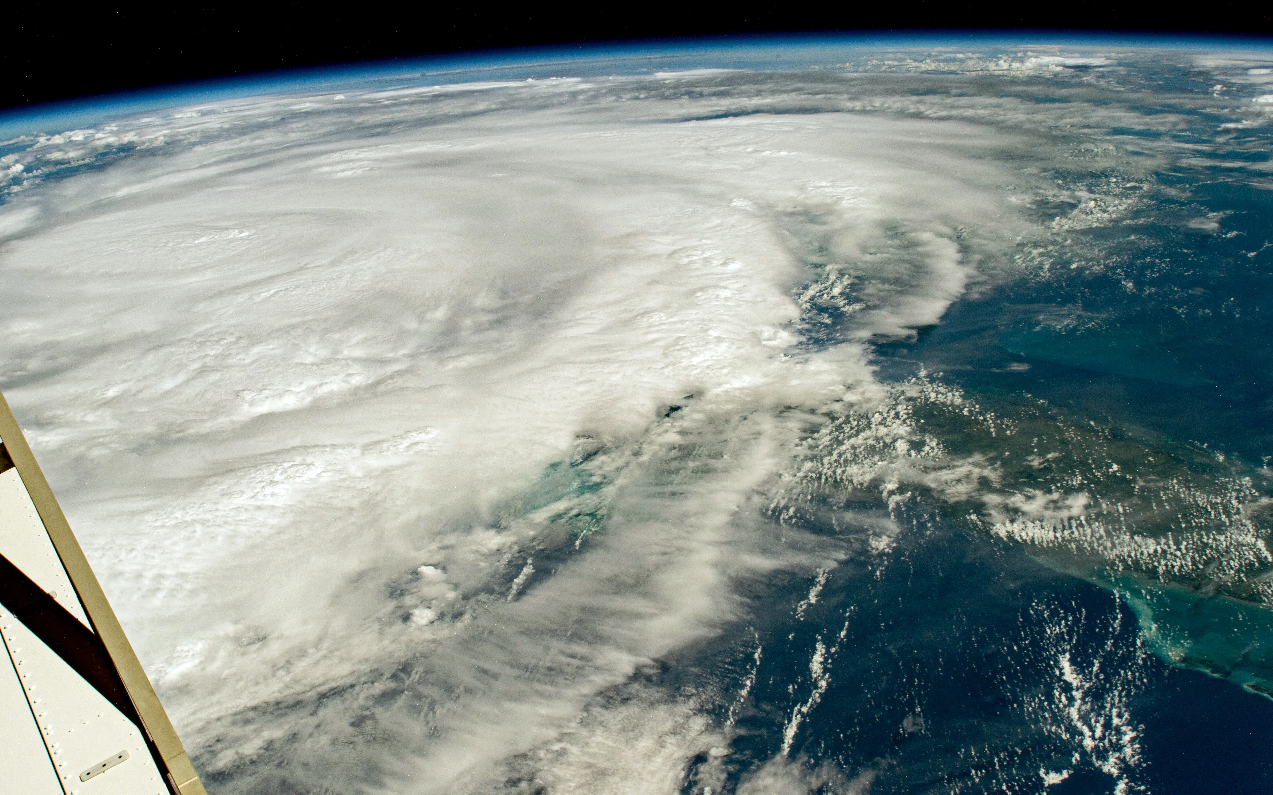
Hurricane Season Begins - NASA
June 1 marks the beginning of the 2024 hurricane season in the Atlantic Ocean. NASA observes and studies hurricanes from space, both with views from the spaceNASA
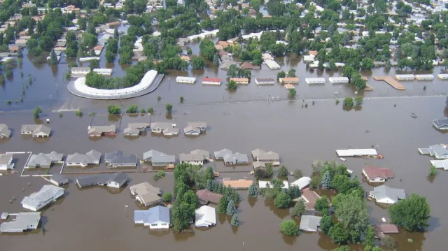
International SWOT Mission Can Improve Flood Prediction - NASA Science
A partnership between NASA and the French space agency, the satellite is poised to help improve forecasts of where and when flooding will occur in Earth’s rivers, lakes, and reservoirs.science.nasa.gov
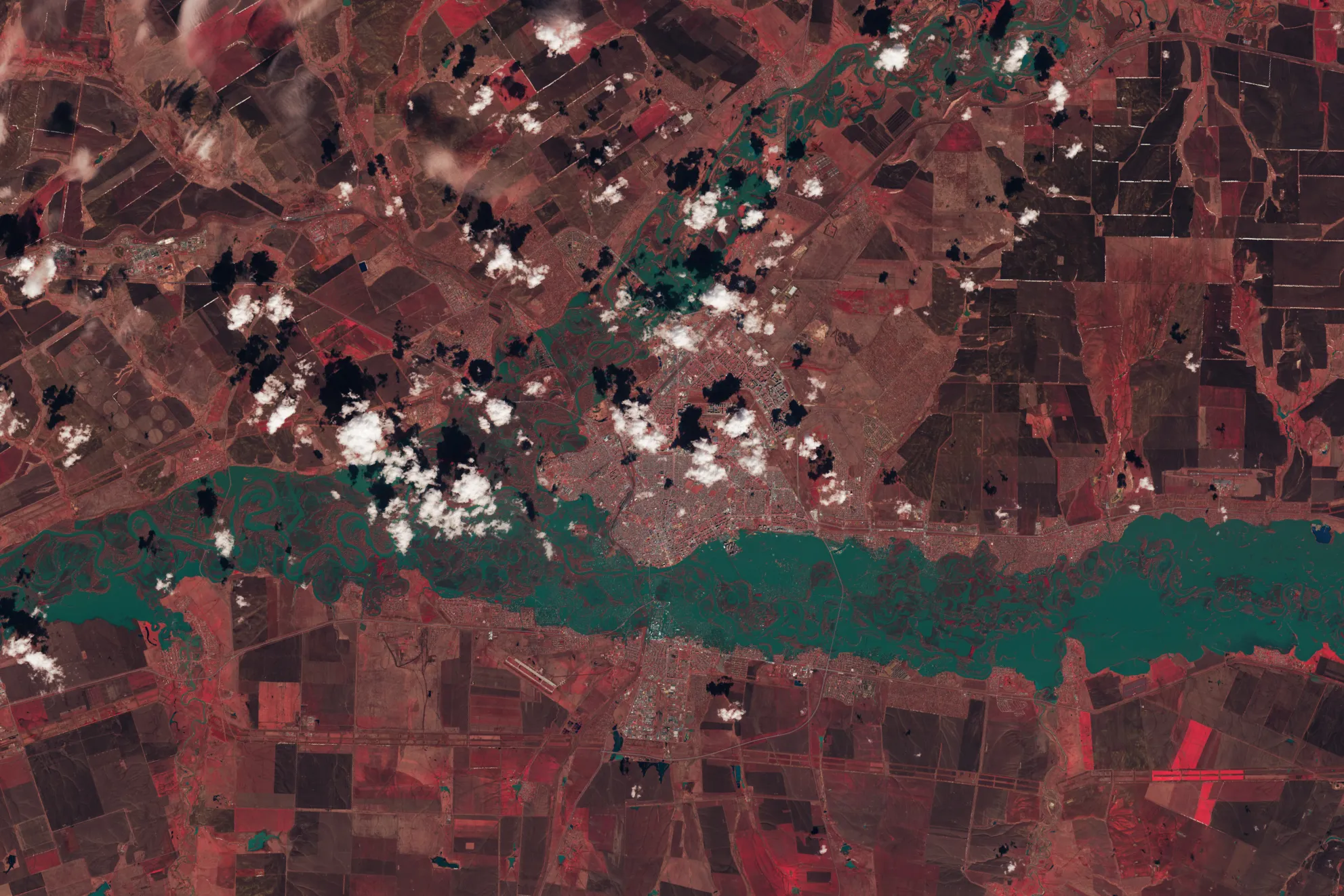
Tracking Spring Flooding - NASA
Ural River levels peak in this April 13, 2024, enhanced color image from Landsat 9; here, vegetation appears red, while water is blue-green. After heavy rainNASA
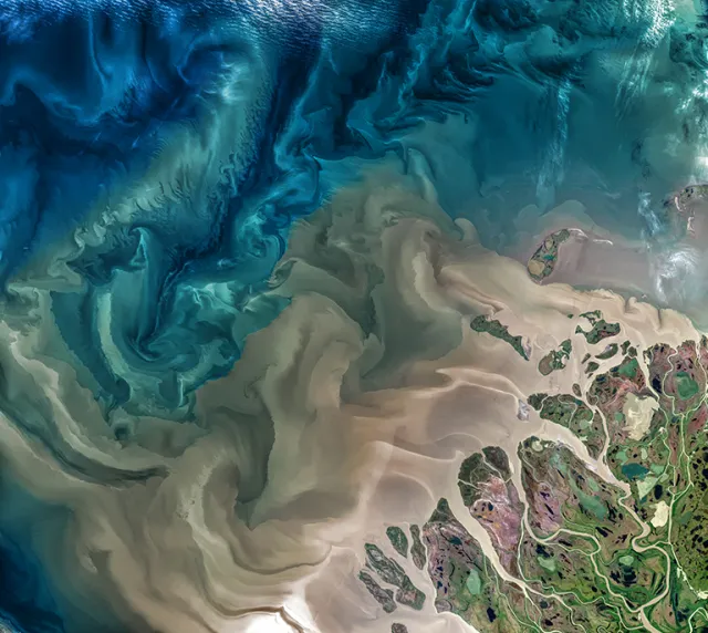
NASA Selects New Aircraft-Driven Studies of Earth and Climate Change - NASA Science
NASA has selected six new airborne missions that include domestic and international studies of fire-induced clouds, Arctic coastal change, air quality, landslide hazards, shrinking glaciers, and emissions from agricultural lands.science.nasa.gov
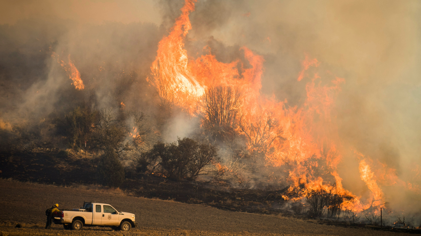
NASA Data Shows How Drought Changes Wildfire Recovery in the West
A new study using NASA satellite data reveals how drought affects the recovery of western ecosystems from fire, a result that could provide meaningful information for conservation efforts.science.nasa.gov
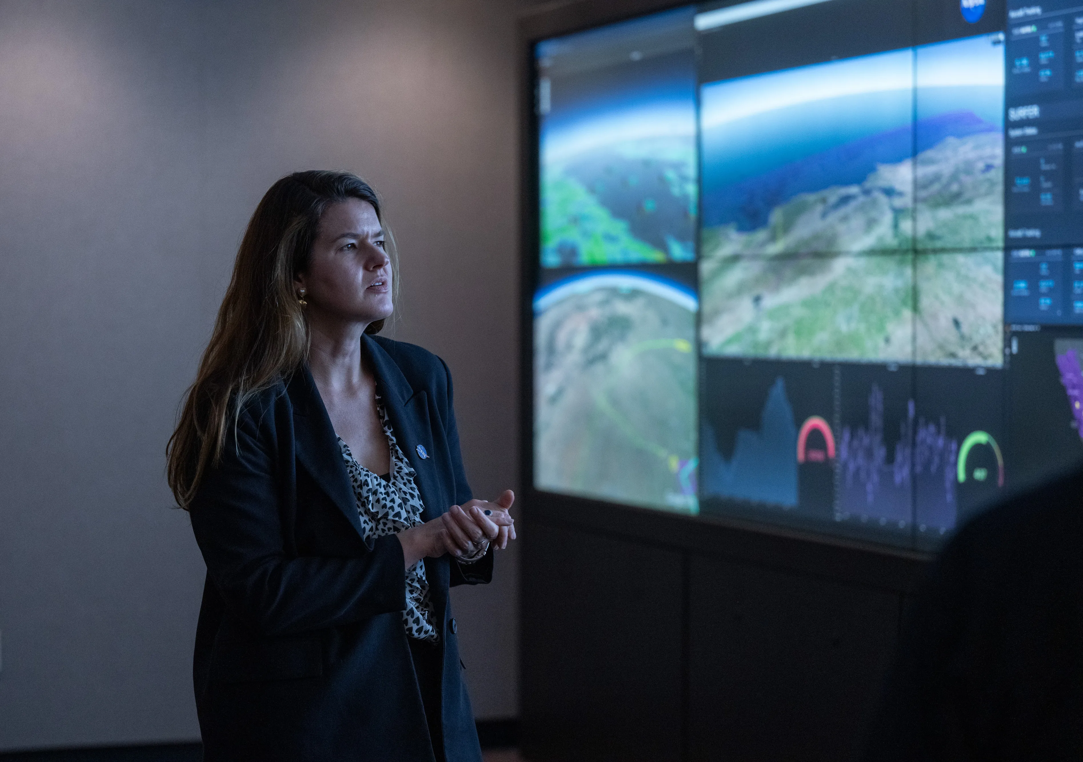
NASA Leader Casey Swails Learns About Wildfire Work at NASA Ames - NASA
NASA Deputy Associate Administrator Casey Swails views a demonstration on screen in the Airspace Operations Laboratory at NASA’s Ames Research Center inNASA
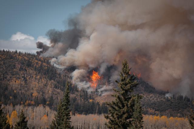
Studying a Planned Fire - NASA
Flames burn orange through green conifers and golden aspen on the slopes of Monroe Mountain in Utah’s Fishlake National Forest, sending gray andNASA
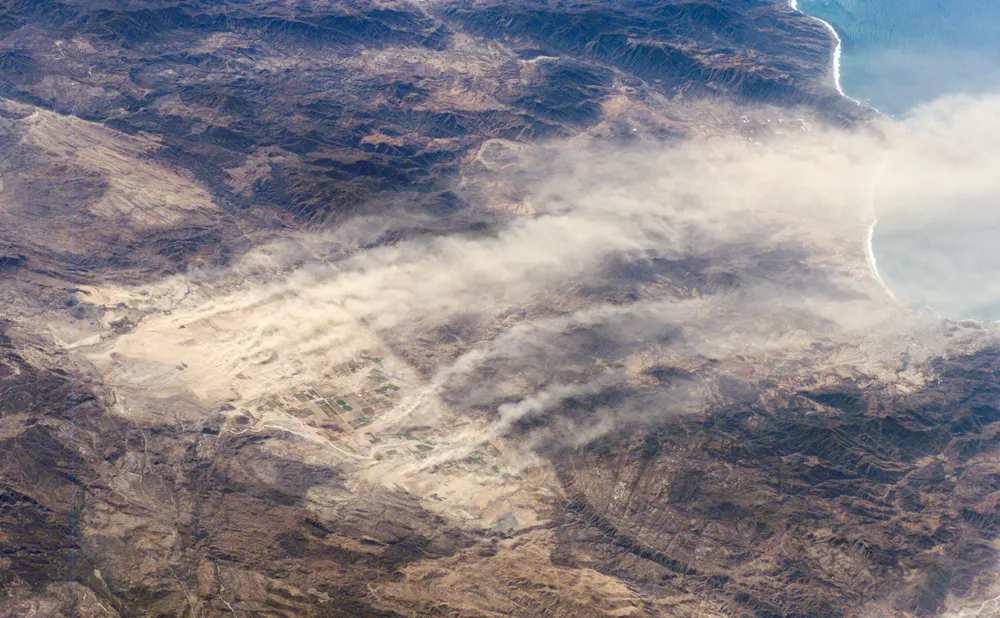
Satellite Data Can Help Limit the Dangers of Windblown Dust - NASA Science
Interstate 10, an artery that cuts through the rural drylands of southern New Mexico, is one of the country’s deadliest roadways.science.nasa.gov

Satellite Data Can Help Limit the Dangers of Windblown Dust - NASA Science
Interstate 10, an artery that cuts through the rural drylands of southern New Mexico, is one of the country’s deadliest roadways.science.nasa.gov
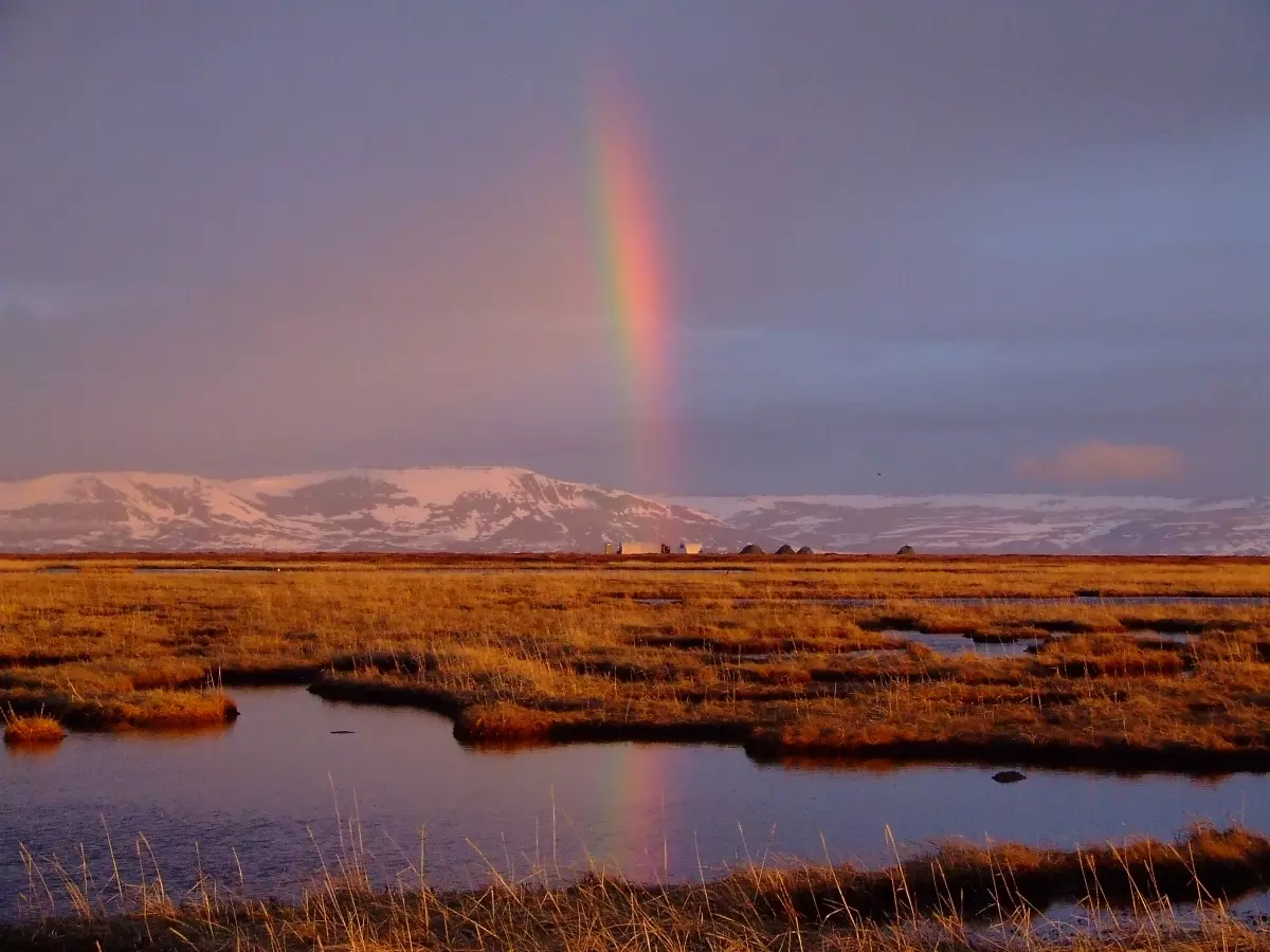
NASA Flights Link Methane Plumes to Tundra Fires in Western Alaska - NASA
Methane ‘hot spots’ in the Yukon-Kuskokwim Delta are more likely to be found where recent wildfires burned into the tundra, altering carbon emissions from theNaomi Hartono (NASA)
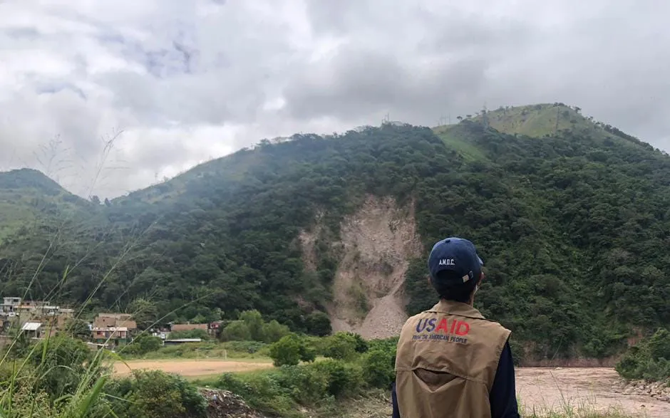
NASA, Pacific Disaster Center Increase Landslide Hazard Awareness - NASA
After years of development and testing, NASA’s Landslide Hazard Assessment for Situational Awareness model (LHASA) has been integrated into the PacificJacob B. Reed (NASA)
