Search
Items tagged with: earthsciencetechnologyoffice
NASA-developed Technology Supports Ocean Wind Speed Measurements from Commercial Satellite science.nasa.gov/science-resea… #NASA #CYGNSSCycloneGlobalNavigationSatelliteSystem #EarthScience #EarthScienceDivision #EarthScienceTechnologyOffice #Oceans #ScienceEnablingTechnology #TechnologyHighlights

NASA-developed Technology Supports Ocean Wind Speed Measurements from Commercial Satellite - NASA Science
A science antenna developed with support from NASA’s Earth Science Technology Office (ESTO) is now in low-Earth orbit aboard MuSat2, a commercial remote-sensing satellite flown by the aerospace company Muon Space.science.nasa.gov
New NASA Instrument for Studying Snowpack Completes Airborne Testing science.nasa.gov/science-resea… #NASA #EarthScience #EarthScienceTechnologyOffice #ScienceEnablingTechnology #TechnologyHighlights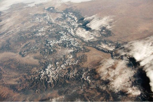

New NASA Instrument for Studying Snowpack Completes Airborne Testing - NASA Science
Summer heat has significant effects in the mountainous regions of the western United States. Melted snow washes from snowy peaks into the rivers, reservoirs, and streams that supply millions of Americans with freshwater—as much as 75% of the annual f…science.nasa.gov
NASA “Wildfire Digital Twin” Pioneers New AI Models and Streaming Data Techniques for Forecasting Fire and Smoke science.nasa.gov/science-resea… #NASA #EarthScience #EarthScienceTechnologyOffice #ScienceEnablingTechnology #Technology #TechnologyHighlights #Wildfires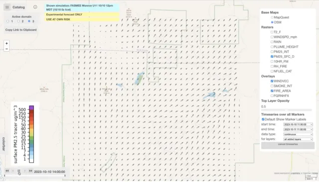

NASA “Wildfire Digital Twin” Pioneers New AI Models and Streaming Data Techniques for Forecasting Fire and Smoke - NASA Science
NASA’s “Wildfire Digital Twin” project will equip firefighters and wildfire managers with a superior tool for monitoring wildfires and predicting harmful air pollution events and help researchers observe global wildfire trends more precisely.science.nasa.gov
NASA’s ORCA, AirHARP Projects Paved Way for PACE to Reach Space nasa.gov/missions/pace/nasas-o… #NASA #PACEPlanktonAerosolCloudOceanEcosystem #Earth #EarthScienceDivision #EarthScienceTechnologyOffice #GoddardSpaceFlightCenter #GoddardTechnology #ScienceMissionDirectorate #Technology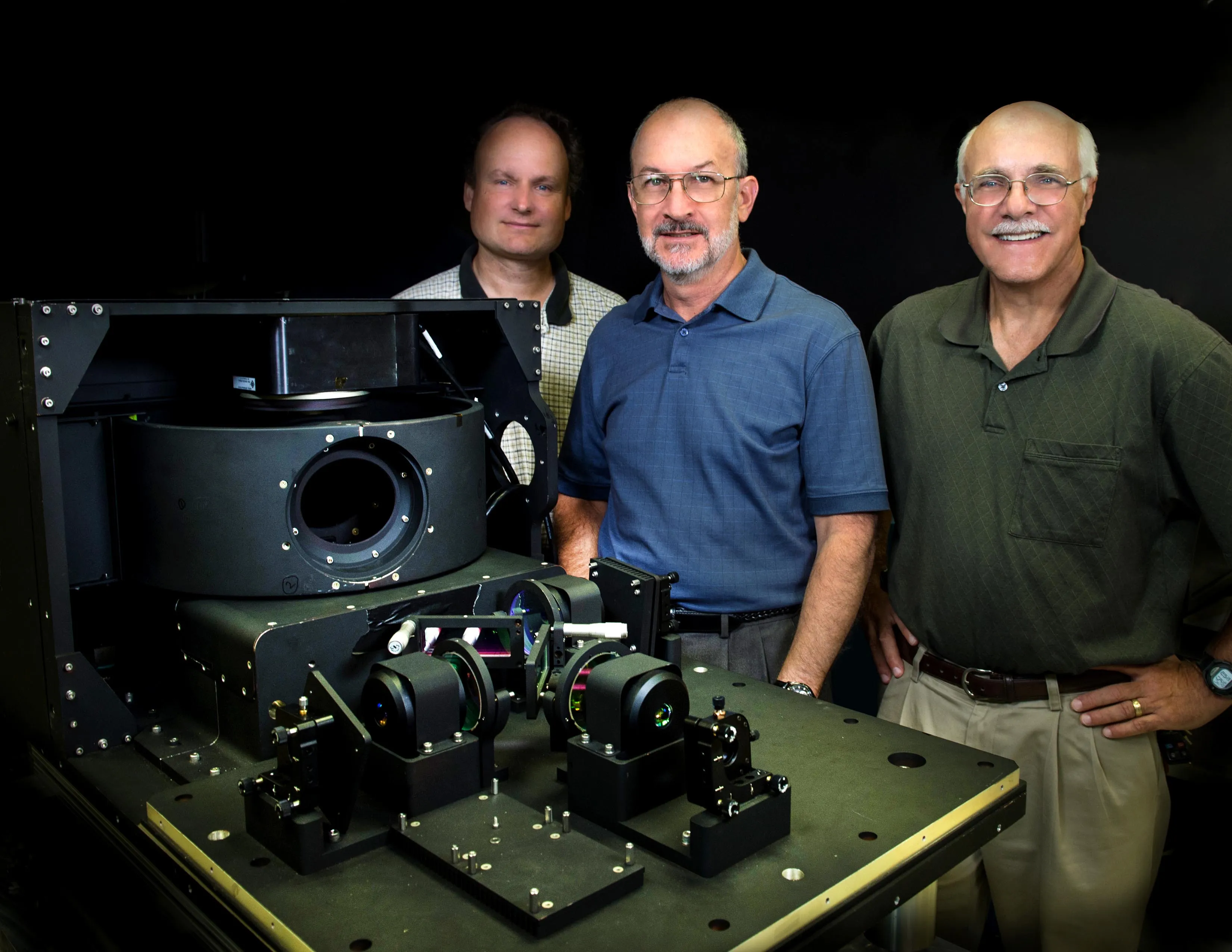

NASA’s ORCA, AirHARP Projects Paved Way for PACE to Reach Space - NASA
It took the Plankton, Aerosol, Cloud, ocean Ecosystem (PACE) mission just 13 minutes to reach low-Earth orbit from Cape Canaveral Space Force Station inRob Garner (NASA)
New NASA Software Simulates Science Missions for Observing Terrestrial Freshwater science.nasa.gov/science-resea… #NASA #EarthScience #EarthScienceTechnologyOffice #GRACEGravityRecoveryAndClimateExperiment #ScienceEnablingTechnology #TechnologyHighlights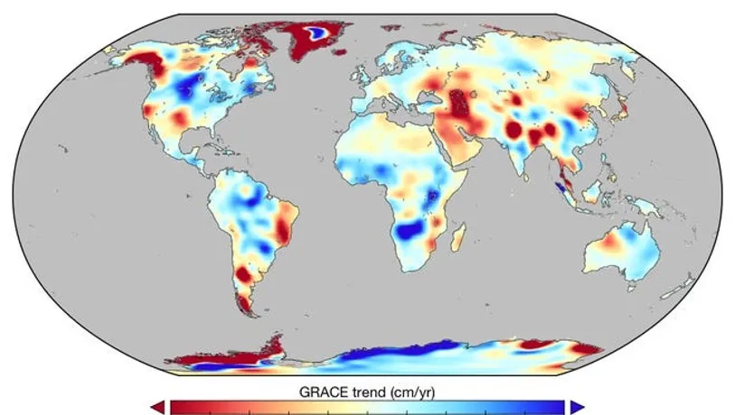

New NASA Software Simulates Science Missions for Observing Terrestrial Freshwater
From radar instruments smaller than a shoebox to radiometers the size of a milk carton, there are more tools available to scientists today for observing complex Earth systems than ever before.science.nasa.gov
